Thursday, July 23, 2009
Sunday, February 1, 2009
Friday, January 30, 2009
Transition

A small, neo-classical pergola designed to be a threshhold leading from one public area consisting of a large semi-circular pergola, and heading to anpother public area: a small neo-classical bath house (visible in the distance ) by the swimming pool.
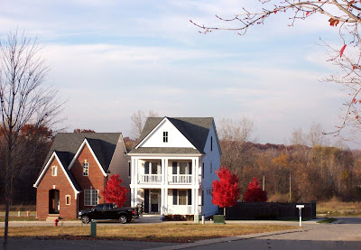
Forester Square, 2008
Date stamp incorrect
Forester Square, 2008
Date stamp incorrect
Labels:
architecture,
Auburn Hills,
Forester Square
Traffic Cameras

MDOT camera at I-75 and University today at 0811 hrs.
Looking south. Chrysler HQ on the left.
Google Earth coordinates:
Lat: 42°39'55.64"N
Long: 83°14'28.02"W
Looking south. Chrysler HQ on the left.
Google Earth coordinates:
Lat: 42°39'55.64"N
Long: 83°14'28.02"W
Labels:
Auburn Hills,
Chrysler,
transportation
Winter 2007
Part of the Clinton River Trail


approximate Google Earth coordinates:
Lat: 42°38'11.16"N
Long: 83°12'39.02"W
Long: 83°12'39.02"W
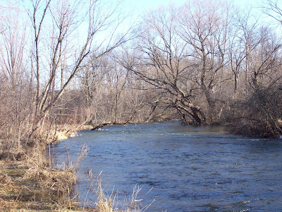
Winter 2007
The Clinton River and River Woods Park


approximate Google Earth coordinates:
Lat: 42°38'31.12"N
Long: 83°12'55.11"W


approximate Google Earth coordinates:
Lat: 42°38'31.12"N
Long: 83°12'55.11"W
Wednesday, January 28, 2009
Autumn 2008
Subscribe to:
Comments (Atom)


